
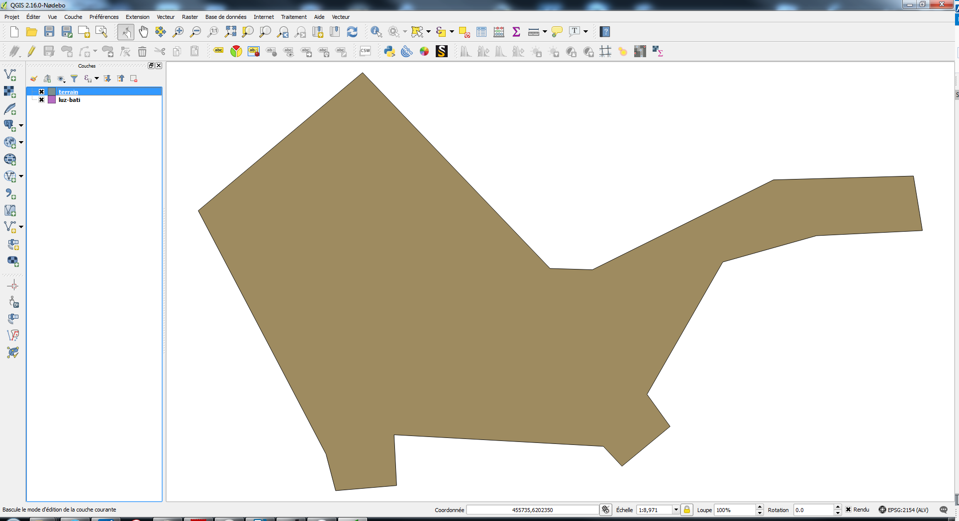
Without a 2D polygon describing terrain extent, 3dfier is not able to create a terrain from a point cloud without. The solution is to create a polygon of the area of interest save this as a shapefile.
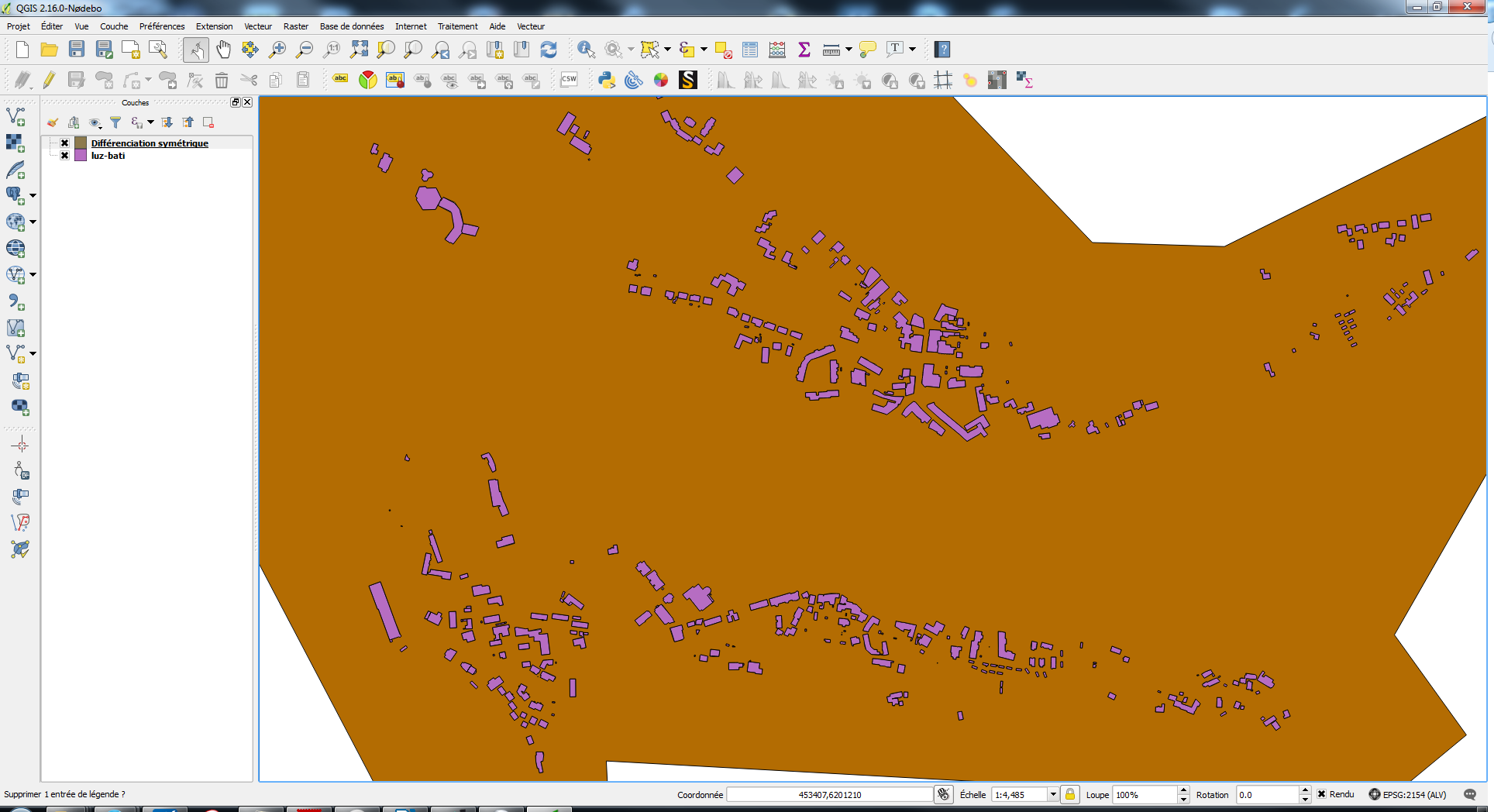
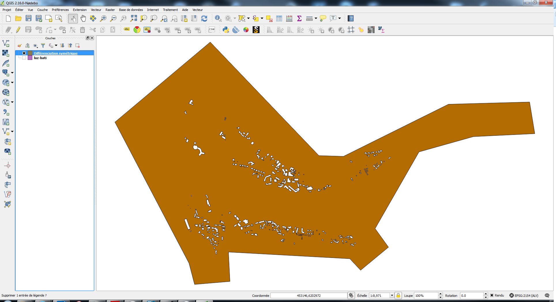
We make sure the terrain and buildings are stitched nicely and the buildings do not intersect with the terrain. We do this by using symetrical difference between the terrain polygon and the buildings. For nice tutorial about this see section D. Symmetrical Difference at GrindGIS.
Terrain
2D terrain + buildings
Symmetrical Difference operation result
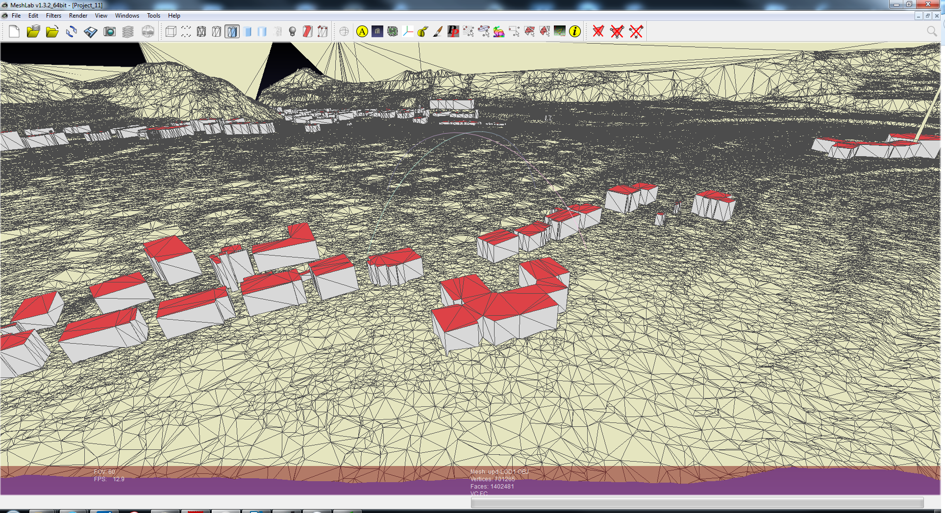
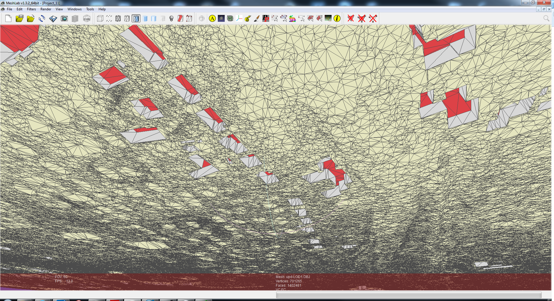
3D model as OBJ in Meshlab
Viewpoint below the 3D model
Thanks to @antoinebio for the images supplied in issue #48.